About Our Association

My photo
The Nebraska Floodplain and Stormwater Managers Association (NeFSMA) is an active organization of over 100 members representing over 50 organizations. NeFSMA pursues multiple purposes including: 1.)promote public awareness of floodplain and stormwater management; 2.) promote the professional status of floodplain and stormwater management and secure all benefits resulting there from; 3.) promote cooperation and information exchange between individuals and entities concerned with floodplain and stormwater management; 4.) keep individuals concerned with floodplain and stormwater management well informed through educational and professional seminars and to provide a method for dissemination of information, both general and technical; 5.) inform and educate concerned individuals of pending floodplain or stormwater legislation, funding and other related management matters. Please browse our website to learn more about NeFSMA at www.nefsma.net. If you are interested in joining, either contact one of the board members or complete the membership form.

Friday, June 3, 2011

Nebraska Floodwater News Headlines of the Day 6/3/2011

The Omaha District office of the US Army Corps of Engineers posted a Public Safety Message News Release yesterday.  http://www.nwo.usace.army.mil/html/pa/pahm/NR060211d.pdf


“Our number one priority is to save lives and our goal is to promote public safety, first and foremost,” says Omaha District Commander Col. Robert Ruch. “We ask the public to be aware of rising  floodwaters and to please practice safety throughout this period of high water.” 


Other news from around the State is interesting.


AP Photo/Sioux City Journal, Tim Hynds 
Flooding rated as 10 by state emergency officials
http://journalstar.com/news/local/article_47392598-56b8-5563-80fc-781239e1471b.html


"In the latest in a series of history-making decisions, the Corps announced it would open spillway gates Friday morning on the Big Bend Dam near Fort Thompson, S.D., to pass floodwater from Lake Sharpe to Lake Francis Case for the first time since the dam went into service in 1963.


And a levee related quote from Mike Jess, former director of the Nebraska Department of Water Resources, "There are levees that will presumably protect property. But what we discover is that, with the river at high elevations for long periods, the groundwater rises behind the levees."


Article Image
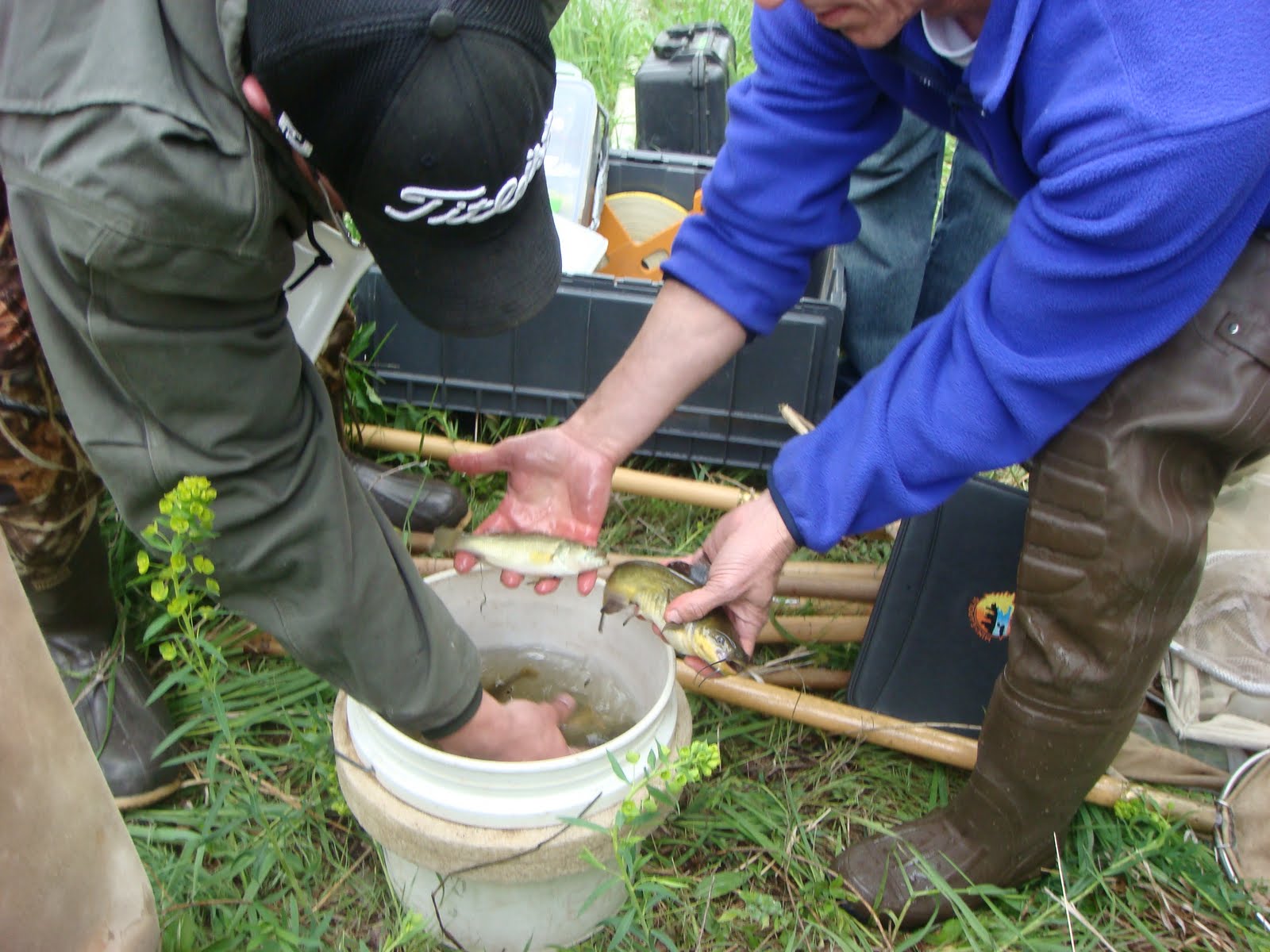
THE WORLD-HERALD Photo, DANIELLE BEEBE


Missouri River Flooding: Corps gets a torrent of questions

http://omaha.com/article/20110603/NEWS01/706039901#missouri-river-flooding-corps-gets-a-torrent-of-questions

"In a scene being repeated up and down the Missouri River this week, the people of Monona County gathered Thursday at the West Monona Community School to get their questions answered.

"(Monona County) Sheriff Jeff Pratt and Randy Behm of the corps' Omaha District office tried to provide the answers. The audience of nearly 1,000 people was unfailingly polite, applauding Behm as he was introduced."


Journal photo by Jim Lee

Local officials grapple with rumor control


http://www.siouxcityjournal.com/

"When rumors start up, they run like a grass fire," Sioux City Fire Chief Tom Everett said during a briefing for the media at The Security Institute on the campus of Western Iowa Tech Community College.
Consequently, Sioux City and Woodbury County residents may call a new flood response hotline at 224-5262. City and county employees will answer six lines daily from 8 a.m. to 6 p.m. Hotlines have also been established for Nebraska and South Dakota residents."


Photo by George Lauby
Flood water rising
http://www.northplattebulletin.com/index.asp?show=news&action=readStory&storyID=20865&pageID=3&sectionID=3

"For a week, they’ve watched the water rise. It will get worse.
“We got some more bad news today,” (John) Simants told the Bulletin. “The Army Corps of Engineers is taking over. On Friday, they will go to Wyoming and assess all the reservoirs, decide which gates will be opened and how far. They said it could be a lot of water.”
Estimates of how high the river will get have already steadily increased. A week ago, the crest was expected to be 7.2 feet. On Tuesday the river reached 7.4 feet and the crest estimate increased to 8 feet.
A crest of 6.5 feet is considered a major flood.
The crest could come at 9 or 10 feet, Simants has been told. No one knows for sure."

2011 NeFSMA Conference - USGS Flood Inundation Mapping Initiative

USGS Flood Inundation Mapping Initiative – A National Program - Richard Wilson P.E., Associate Director, USGS Nebraska Water Science Center

Learning objectives: The USGS is implementing a nationwide flood-inundation mapping program. The goal of the program is to enable government officials to make timely operational and public-safety decisions during floods based on the best available data, studies, and resources. 

This presentation will outline the comprehensive and partner-based USGS Flood-Inundation Mapping Initiative and discuss early successes in Michigan and Ohio, and a real-time flood-inundation mapping project in Washington.

A powerful new tool for flood response and mitigation is digital geospatial flood-inundation mapping that shows flood-water extent and depth on the land surface. Flood-inundation maps that are tied to U.S. Geological Survey (USGS) real-time streamgage data and National Weather Service (NWS) flood forecast sites enable officials to make timely operational and public-safety decisions during floods. A long-term goal of the program is to promote and implement real-time flood-inundation mapping. 


Because floods are the leading cause of natural-disaster losses, and because disasters associated with flooding can be reduced with proper preventative measures, development of a USGS National flood-inundation mapping science initiative is critical to meet USGS science strategy goals for the National Hazards, Risk, and Resilience Assessment Program major science direction. A USGS National flood-inundation mapping science initiative benefits and fosters partnerships with other Federal agencies such as the NWS, U.S. Army Corps of Engineers, and Federal Emergency Management Agency (FEMA); and State and local agencies.

Thursday, June 2, 2011

2011 NeFSMA Conference - Hydraulic Model, Habitat Availability, T&E Sepcies

Hydraulic Model of the Central Platte River to Determine Habitat Availability for Three Threatened and Endangered Bird Species. Steve Smith, P.E. - Executive Director’s Office of the Platte River Recovery Implementation Program

Statement of learning objectives: Attendees will learn how an interstate and federal Program is using a hydraulic model of the Central Platte River to determine habitat availability for three threatened and endangered bird species.

Proposed Presentation: The Platte River Recovery Implementation Program (Program) was initiated on January 1, 2007 between Nebraska, Wyoming, Colorado, and the Department of the Interior to address endangered species issues in the central and lower Platte River basin. The species considered in the Program, referred to as “target species”, are the whooping crane, piping plover, interior least tern, and pallid sturgeon. Program participants have reached an agreement for participation in the First Increment of the Program for the period from 2007 through 2019.

The Program’s management objectives include improvement of the survival of whooping cranes during migration, and improvement of least tern and piping plover production. One of the management strategies to achieve these objectives is the Flow-Sediment-Mechanical (FSM) strategy. This strategy includes mechanical creation of target species habitat (e.g., building sandbars), and use of short duration high flows (SDHF) in combination with sediment augmentation to create and maintain habitat for target species.

Habitat preferred by the Program target species includes wide, braided, non-vegetated river conditions ideal for nesting and roosting. Reduced streamflow and occurrence of invasive vegetation have resulted in a reduction of preferred habitat area. A HEC-RAS hydraulic model of a 153-mile reach of the Central Platte River was used to estimate the magnitude of streamflow necessary to scour invasive vegetation. The hydraulic model was also used to determine sandbar height and channel width that would maximize flow scour potential, while minimizing the risk of nest inundation.

The presentation will briefly discuss the overall management objectives and strategies of the Program. The remainder of the presentation will be focused on the application of the hydraulic model for estimating available habitat for the target species, and determining a range of channel design parameters that would maximize the creation and maintenance of habitat under the Program’s FSM management strategy.

Friday, May 27, 2011

Nebraska H2O Coordinates Stream Bioassessment Workshop

On May 18-19, the 10 member communities of Nebraska H2O coordinated a stream bioassessment workshop in Grand Island, Nebraska.  There were 15 attendees (MS4s, NRDs, UNL, and USGS) plus the two presenters from the Central Plains Center for BioAssessment at the University of Kansas.  Felsburg Holt & Ullevig arranged and facilitated the workshop.  The purpose of the workshop was to explore new methods to measure effectiveness of Storm Water Management Programs for MS4s. 

The CPCB has a summary and downloadable copies of the presentations available on their website - http://www.cpcb.ku.edu/workshops/html/2011_GrandIsland.htm and the first two videos on the NeFSMA YouTube Channel have been posted with small segments from the field tour portion of the workshop.


The group covered basic information about stream bioassessement concepts, methods, taxonomy, data collection, and reporting.  Half of the first day was held in the field.  The group visited a segment of the Wood River upstream of Grand Island which could be considered the reference condition where urban influences have not impacted the stream.  This is the location seen in the first video.

The group then moved to the sampling location which was near State Fair Park.  After some more introductions about field equipment and filling out the assessment forms (seen in the second video), anyone that wanted to could get into the Wood River and start trying their hand at sampling the stream. 


The workshop was successful and the feedback was great.  Nebraska H2O Communities hope to use stream bioassessment methods for algae, macro-invertebrates, and/or fish to more effectively monitor the impacts of stormwater pollution from their communities.  

Don't think there are any fish or macroinvertebrates in our urban waters?  Check out these two photos which were taken AFTER the group had tromped around in the stream channel for about an hour. 


 Submitted by
Jesse Poore

Thursday, May 26, 2011

ASFPM Conference - Mike McIntosh

I also attended the ASFPM annual conference in Louisville Kentucky. This was my first conference and as Lori mentioned if you haven’t attended one in the past, I would highly encourage you to attend next year’s conference in San Antonio. As a new attendee, the conference was a great education on the structure of ASFPM and how things are actually getting done in the trenches. It was exciting to learn how easy it is to get involved in the different committees. There were over three hundred papers submitted with only about a third of them presented. As evident by this, the presentations were high quality, interesting and timely. Approximately 1,000 people attended the conference, so there were ample opportunities to network with people from different communities. With my involvement in the Omaha CSO program, I was especially interested in speaking with some of the leaders of the Louisville CSO program.


Of course conferences aren’t all about presentations. ASFPM offered several tours and outside events. I took advantage of the tours to visit Marengo Cave, canoe down the Blue River and tour Churchill Downs. It was interesting to hear how high floodwaters were in the recent past at Churchill Downs. The horses would have been swimming across the finish line if they would have raced that day. The final night of the official conference was spent in Louisville’s new downtown area called “Fourth Street Live”. If you have a chance to visit, make sure to check it out.

The theme of next year’s conference is “Mission Mitigation” in San Antonio, Texas from May 20-25. If you haven’t been to the Riverwalk, it is something you won’t forget. This year Virginia had the most participants with 116. I don’t know if we can beat that, but let’s make sure Nebraska is well represented next year.

Submitted by

Mike McIntosh